Walking in Bambësch Forest
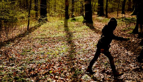
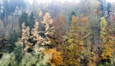
Whether you're looking for a good place to go for a jog, forest hike or easy Sunday walk, Bambësch Forest has something for everyone with its signposted trails, and exercise and cross-country circuits.
There are a number of benches and picnic tables located along the trails so you can stop to rest and enjoy the beautiful natural surroundings.
Fox (4.8 km)
Starting points:
- Siweburen car park / Bridel
- Rollingergrund / Roudebierg, lines 19 and 21
- Rollingergrund / Roudebierg, lines 791 and 901
- Rollingergrund / Roudebierg, lines 902 and 903
- Rollingergrund / Roudebierg, lines 911 and 921
Maple (4.8 km)
Starting points:
- Spora car park / Laff-Treff
- Bambësch / Sports centre, line 33
- Bambësch / Sports centre, line 921
- Peiffeschbierg, line 21
Owl (7.5 km)
Starting points:
- Siweburen car park / Kaleknapp
- Rollingergrund / Roudebierg, lines 19 and 21
- Rollingergrund / Roudebierg, lines 791 and 901
- Rollingergrund / Roudebierg, lines 902 and 903
- Rollingergrund / Roudebierg, lines 911 and 921
Walking in Hamm
Squirrel (5.3 km)
- Starting point: Car park near the crematorium (Rue Haute – Allée des Châtaigniers), line 15: "Käschtewee" stop
Linden (6.9 km)
Starting points:
- Car park on Rue de Pulvermühl/Rue Auguste Charles , line 15: "Kofferfabrik" stop
- Car park near the allotment gardens on Rue Anatole France, line 5: Anatole France
- Car park near the Hamm Church (Rue de Hamm – Rue de la Montagne), line 15: "Hamm-Kierch" stop
- Car park on Rue de Pulvermühl/Val de Hamm, line 13: "Pulvermühl-Hammerdällchen" stop
- Car park Gantenbeinsmillen
Godchaux walk (2.0 km)
Starting point: Car park near the allotment gardens on Rue Anatole France, line 5: Anatole France
This walk, which is named after the family that introduced textile manufacturing to the Alzette Valley, leads from Bonnevoie to Hamm, passing by the Gantenbeinsmillen, the old workers' quarters on Rue Godchaux, Villa Godchaux, the Fohlmillen, and many other sites that stand as monuments to the rich industrial history of our city.
Walking trails
View the interactive map at maps.vdl.lu
Open mapForest running trails
As part of its initiatives to promote residents' well-being, and following the "Urban Forestry" survey conducted in 2023, the City has created three new forest running trails in the heart of the Bambësch forest.
With three difficulty levels ranging from blue to black, there is a trail suited to every skill level. The three routes can be combined to cover distances of 20 km or even 30 km, offering a complete sporting experience:
- Trail 1 (blue): 10.5 km – 185 m ascent
- Trail 2 (red): 10.2 km – 231 m ascent
- Trail 3 (black): 10.2 km – 249 m ascent
The trails take runners along some of the most beautiful paths in the Bambësch forest and are accessible from the main parking lots: Laftreff/Batterie/Spora, Juegdschlass, Maison B, Siwweburen, Kaleknapp and Bridel. The routes are clearly marked with signage and information panels for runners. These were put in place by the City's Service Forêts (Forest Department).
A LetzTrail connected experience
As part of its "Smart City" strategy, which is aimed at using new technologies to provide innovative tools in areas such as transport, education and tourism, the City has partnered with the Luxembourg start-up LuxTechSystems SA, creator of the free LetzTrail app. This application allows users to explore geolocated trails, including the City of Luxembourg's new Bambësch trails. A few clicks are all it takes to choose a starting point, launch your route, and monitor time and distance as you go. Users can also share their achievements, join or build communities, and plan sports activities together.
View the interactive map at maps.vdl.lu
Open mapRunning routes
View the interactive map at maps.vdl.lu
Open map