City of Luxembourg's active travel concept
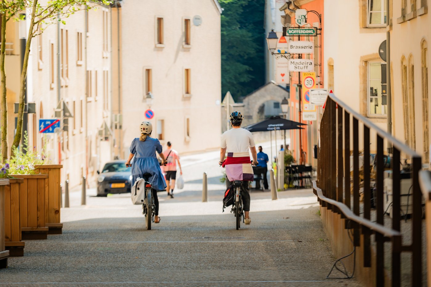
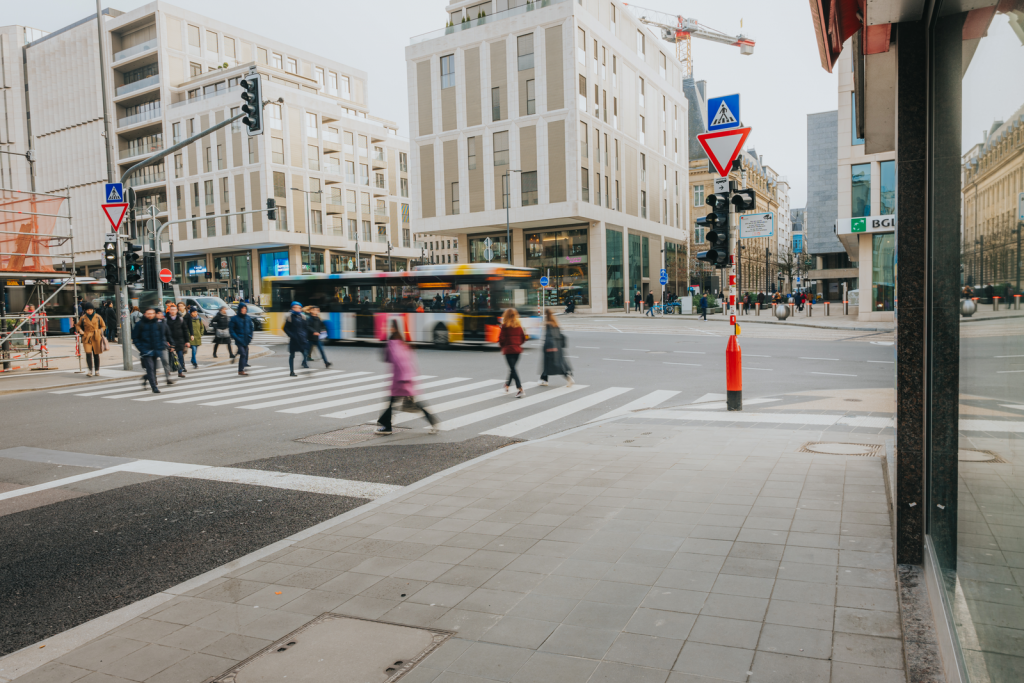
At a press conference on Tuesday, 20 October 2026, the College of the Mayor and Aldermen presented its active travel concept that was developed as part of the City of Luxembourg's Mobility Plan, which sets urban mobility targets to achieve by 2035 and seeks to sustainably improve travel conditions for pedestrians and cyclists.
During the press conference, Patrick Goldschmidt, the alderman for mobility, recalled the analyses and surveys that had been undertaken prior to the drafting of the active travel concept, as well as the development of the adopted proposals, which include recommendations that could be implemented in the short term, more long-term developments, and an appropriate monitoring mechanism. Luxembourg City Mayor Lydie Polfer and Alderman Goldschmidt used this event to underscore the close links between the capital's urban development and urban mobility. This factor played a role in the development of the Mobility Plan and will be taken into account as the pedestrian and cycling networks evolve. Alderman Goldschmidt also noted that "mobility in Luxembourg City must be based on peaceful coexistence that respects all users of the infrastructure and public spaces."
Recommendations in keeping with the continuity of the City of Luxembourg's Mobility Plan
As stated in the College of Aldermen's 2023–2029 mission statement, the network of intra- and inter-district cycling routes, as well as the routes connecting neighbouring municipalities – particularly the main arteries – will be expanded, improved, made safer and better connected, and pedestrian routes in public spaces will be upgraded. These ambitions were set out in the City of Luxembourg's Mobility Plan 2035, on the basis of which the College of Aldermen embarked on developing an active travel concept, in a process that involved close collaboration between several municipal departments and the firms Gehl, LSC 360 and TRAMP.
The results presented in this document are the recommendations made by these firms. The City of Luxembourg will conduct an in-depth, multidisciplinary analysis to determine the feasibility of implementing the various proposals. Then, depending on their feasibility, the proposals will be incorporated in the City's project development and investment programme. The City plans to hold a public consultation in the subsequent stages of the project.
Putting pedestrians and cyclists at the centre of the City's mobility strategy
To highlight the importance of pedestrians and cyclists in the existing road network, the target network devised as part of the City of Luxembourg's Mobility Plan served as the basis for the design of the active travel network. In seeking to identify the corridors that the active travel concept should encompass, the analysis of the road network located 21 corridors – covering a total of 17.8 km – and 30 connection points.
An assessment and analysis system was devised to help achieve the targets set for improving and extending the cycling and pedestrian networks. Cycling infrastructure is assessed based on four key criteria: the safety, comfort, attractiveness and directness of a journey. Pedestrian travel is assessed based on these same criteria, plus a fifth one: the quality of the time spent in public spaces, which is a determining factor. Other criteria included in the assessment system are residents' complaints, accident statistics, ongoing projects, recommendations that can be implemented in the short term, and a lack of connections in the existing network.
Applying this methodology and the aforementioned criteria revealed that the existing pedestrian network is already well suited to getting around on foot. The engineering firm, Gehl, identified five categories of cycling infrastructure, which make up the target network of the active travel concept:
- one-way bicycle lanes;
- two-way bicycle lanes;
- bicycle boulevards;
- mixed traffic;
- connection points.
Analysis of the recommendations
Based on these five categories, conceptual plans were then developed for each of the 21 corridors and 30 connection points that were identified. Their feasibility will be reviewed, taking into account the existing infrastructure, ongoing and future developments, and current standards and regulations, with a view to short-, medium- or long-term implementation.
For short-term implementation, Gehl recommended the following corridors:
- Boulevard Franklin D. Roosevelt and Avenue Marie-Thérèse
- Avenue Jean-Pierre Pescatore
- Boulevard Marcel Cahen and Place de France
- Rue des Aubépines (between Val Ste Croix and Route d'Arlon)
- Rue de Trèves and Rue de Cents
- Allée Pierre de Mansfeld
- Rue de Merl
- Boulevard de Verdun and Boulevard Grande-Duchesse Joséphine-Charlotte
Ongoing monitoring and assessment for continuous improvement
To ensure that this evolving active travel concept can be continuously improved, the implemented measures will be assessed based on the "measure, test, refine" approach. Through regular reports on the use of the pedestrian and cycling networks, the City will be able to analyse travel habits, identify the initiatives that produced the expected results, and pinpoint elements that may need to be adjusted.