Summary record
Video
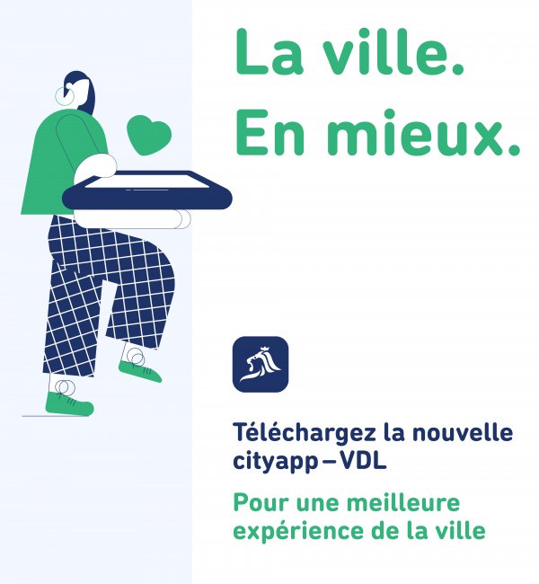
New VDL "cityapp" smartphone application, particularly the "Report-It" tool
QUESTION POSED BY HÉLOÏSE BOCK
In late September 2020, the City unveiled a new smartphone app. The old version of the "Report-It" tool not only allowed users to report an incident, problem or repair that needed to be made, it also allowed them to view the list of requests that had been submitted, the responses provided by the relevant department, and how much time it would take to process the request. This feedback reflected the principle of a transparent, modern administration. It is unfortunate that the "Report-It" tool can no longer be easily accessed on the City's website. Would it be possible to add a direct link to this tool on the "cityapp" home screen? Does the City have plans to promote "Report-It" in "City" magazine and other locations? Is there a way for frequent users to create a shortcut to this tool? Will the new version of the tool also allow users to access the list of reports and responses by the City's departments? Will "Report-It" continue to prioritise transparency by publishing the departments' follow-up actions and responses? Could this tool be used by City employees – particularly municipal workers – to notify the municipal departments of any problems they spot?
RESPONSE PROVIDED BY ALDERMAN SERGE WILMES
Now that the tool has been tested and tried, the City has only recently begun promoting it, primarily through "City" magazine. Having found that people used the old tool for purposes other than just reporting what needed to be repaired, the City responded by adding a feature to the new tool that lets users send suggestions and ask questions. As a result, the interface was redesigned. All "Report-It" reports and follow-up actions on them will remain accessible on www.vdl.lu. The home screen has been left virtually empty to allow individual users to customise their "dashboards" with widgets. A "Report" widget will be added to the home screen so users can use this feature from the home screen. At the moment, municipal workers report any issues they notice during their daily rounds by sending an email and supporting photos to the coordination office of the Service Parking (Parking Department), and the coordination office then forwards these emails to the relevant departments.
Inadequate upkeep of built and unbuilt properties and the City's responses
QUESTION POSED BY GUY FOETZ
The pedestrian walkway between Rue des Forains and Rue Bischoff, which provides a shortcut from Kirchberg to Place Dargent, is closed because a dilapidated building (land registry number 372/680) at risk of collapsing stands near the walkway. Article 45 of the building regulations (règlement des bâtisses) stipulates that all buildings must be continually maintained in good condition, and that the mayor may order that buildings be repaired or walled in, or that built or unbuilt land located beside public thoroughfares be fenced in if it endangers public health or safety, and that the owner is responsible for all costs.
The second case concerns an abandoned garden on Rue Bischoff (land registry number 378/3223). It appears that a property developer is waiting to be able to purchase other buildings on this street for a real estate project. The vegetation in this garden spills over onto the neighbouring plots, yet Article 38 of the general regulations on public order and safety (règlement général de police de la Ville) stipulate that all landowners must keep their land tidy.
What does the City plan to do in these two cases to protect residents' rights?
RESPONSE PROVIDED BY THE MAYOR, LYDIE POLFER
The walkway between Rue des Forains and Rue Bischoff is still closed because the building you mentioned is at risk of collapsing. Stones have already fallen from it. The City contacted the owners several times, to no avail. The owners have recently agreed to sell the building at 30, Rue Bischoff to the City. This building will be demolished and the walkway will then be reopened.
As for the second case, the general development plan (plan d'aménagement général – PAG) classifies the land in question as "home gardens", so it is impossible to build anything on it. The City plans to ask the owners of this garden to do what is required to maintain it.
Letter sent by the City of Luxembourg to owners of building land with the aim of using this land
QUESTION POSED BY FRANÇOIS BENOY
Luxembourg City is experiencing a severe housing shortage despite the fact that according to LISER (Luxembourg Institute of Socio-Economic Research), 117 hectares of land could immediately be built on (Baulücken and other land not subject to special development plans (plan d'aménagement particulier – PAP) or listed as "zones to protect" (zone à défendre – ZAD)). Following the municipal council's discussions on the motion submitted by the déi greng group in July 2020 to significantly raise the property tax on building plots (B6), the College of Aldermen promised to send a letter to all owners of building land in Luxembourg City to encourage them to release their land so it can be built on.
How many such plots were identified and what is their total surface area? When did the City send this letter, and to how many people? Bearing in mind that the College of Aldermen does not intend to raise the B6 property tax or expand its collaboration with the Social Housing Agency (Agence Immobilière Sociale), what measures are being considered to secure more building land in Luxembourg City?
RESPONSE PROVIDED BY ALDERMAN LAURENT MOSAR
The City has identified 438 plots that could be used for residential buildings. The combined surface area of the plots is 29.25 hectares (as at 31 January 2021), and a complete list of the plots in question was sent to the Luxembourg Inland Revenue's (Administration des contributions directes) property assessment section, as required under the Housing Pact (Pacte logement). Of these 438 plots, 242 have been on the list of building plots for more than two years. These 242 plots cover a total of 13 hectares and belong to 175 different owners. The City sent these 175 owners a letter highlighting the tax benefit of selling a plot directly to the State or municipality. The letter complied with the legislation on the protection of personal data.
MAYOR LYDIE POLFER
A copy of the letter template that was sent will be given to Councillor Benoy. Naturally, to protect all personal data, the owners' names will not appear.
PAPs implemented with a separate sewerage system
QUESTION POSED BY CARLO BACK
The legislation in force since 2010 stipulates that a separate sewerage system (rainwater/wastewater) must be laid when implementing PAPs, yet PAP sewerage systems currently discharge either into a combined system or a separate system. Does the City have an inventory of PAPs implemented since 2008 that comply with the aforementioned legislation? Which of these PAP developments discharge into a separate sewerage system and which discharge into a combined system? Could you provide details on the future rainwater drainage system that will traverse the Bonnevoie district and to which the separate sewerage systems created during the implementation of new PAPs will be connected? Which PAP developments will be connected to it? Does the College of Aldermen have plans to build other networks for rainwater?
RESPONSE PROVIDED BY ALDERWOMAN SIMONE BEISSEL
Since 2010, all PAPs have been implemented with a separate sewerage system, even if they are located in a zone with a combined system. Since 2008, 44 retention basins have been built. Four retention basins still discharge into a combined system: the "Hansen" (Hansen PAP), "Bové" (Rue Nicolas Bové), "Simmer" (Rue Val Ste Croix) and "Lilas" (Rue des Lilas) basins.
A feasibility study is under way to ensure the compliance of the system to which the first three of those basins are connected, seeing as a rainwater drainage system and a drain for wastewater must be built between Rue des Aubépines and Rue des Sept Arpents, covering a distance of 4 km.
Studies will soon be undertaken to ensure the compliance of the system that the fourth retention basin – "Lilas" in Kirchberg – is connected to. A new rainwater drainage system will need to be built there – spanning approximately 2 km between the Alzette and Boulevard Prince Charles – as part of the KI-15 (Laangfur) and KI-10 PAPs.
Studies are also under way for the rainwater drainage system traversing the Bonnevoie district over a distance of 1.6 km. This drainage system will start near the outbuilding of the Lycée technique de Bonnevoie and drain water from the CFL facilities, the retention basins for rainwater from the new N3 national road, Pont Buchler and the Dernier Sol PAP, and then discharge into the existing rainwater drain on Rue Auguste Charles.
The infrastructure will be continually updated as needed as future PAPs are implemented. Rainwater drains will be created along Rue de Reckenthal and Route d'Arlon. All future PAP developments will be connected to a rainwater drainage system if they are located inside a zone with a drainage system for combined water.
Change in the number of trees in Luxembourg City between 2018 and 2020
QUESTION POSED BY ANA CORREIA DA VEIGA
The 2019 activity report of the Service Parcs (Parks Department) contains a discrepancy concerning the number of trees located in Luxembourg City: on page 14, the department reports a total of 20,980 trees in 2019 and 20,950 trees in 2018, yet if you add up the numbers shown in the district-by-district breakdown, the total comes to 20,498 trees in 2019 and 21,235 trees in 2018. This means that there are actually 737 fewer trees, and not 30 more trees. Which figure is correct: the total number listed on page 14 or the breakdown by district? Does the City have an updated total for the number of trees in the city as a whole and in each district for 2020? How old were the trees that were cut down, and why were they cut down? Does the City have an offsetting plan and a multiyear plan to plant trees in the city's various neighbourhoods?
RESPONSE PROVIDED BY ALDERMAN SERGE WILMES
The correct figure is the total number of trees located in Luxembourg City, which in March 2020 was 20,348, while the sum of the trees by district was 20,308. The discrepancy noted by Councillor Correia stems from the fact that it takes time to update the data on the number of trees cut down and replanted in the different districts. The relevant department is currently streamlining this process to eliminate any discrepancies. The new software for the tree register will also help. This new software will also make it possible to sort the trees by age. The main reasons for cutting down the trees were disease, poor weather conditions and construction projects. There is no overall offsetting plan, but anyone wishing to cut down a tree must apply to the Ministry of the Environment (Ministère de l'Environnement), and a new tree must be planted either in the same location or in a different location. The City does not currently have a multiyear tree-planting plan. The planting of new trees depends on urban development, and specifically the creation of new streets and districts, such as Ban de Gasperich – where 485 trees were planted – Porte de Hollerich, and the Rue des Aubépines PAP. The City of Luxembourg is the only municipality in the country with a tree register, and additional staff have been hired to administer it. The trees located in the forests should be added to the aforementioned figures.