Advantages
The main advantages of this neighbourhood are:
- the recreational areas and green spaces along the Alzette;
- its proximity to the European institutions, banks, international companies, and conference centres in Kirchberg;
- the nearby hospitals;
- its proximity to the Dommeldange train station.
Geographic location
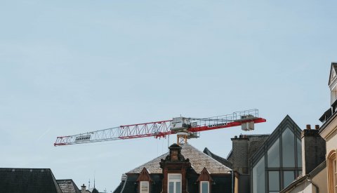
Weimerskirch has a surface area of 110.51 hectares, and is located in the north of the capital. It borders
- Dommeldange to the north;
- Kirchberg to the southeast;
- Pfaffenthal to the south; and
- Eich to the west.
The Alzette forms a natural border on the east side, between Eich and Weimerskirch.
Population
Number of residents
- 2,414 as of 31/12/2022
- Demographic weight: 2.04% of Luxembourg City's population
Population growth
- 2016: 2,288
- 2017: 2,375
- 2018: 2,430
- 2019: 2,462
- 2020: 2,440
- 2021: 2,370
Infrastructure
Culture, sports and leisure
- Laval Park
- 4 playgrounds
- 1 cultural centre
- community centre (pavillon sociétaire)
- Café littéraire le Bovary
- Gust Jacquemart Stadium
- 1 gymnastics hall
Transport
- 15 bus stops
- Bus lines serving the area: 8, 25, 63, CN4
- 9 above-ground car parks
- 4 parking spaces for people with reduced mobility
Other
- Lëtzebuerger Guiden a Scouten (Luxembourg Guides and Scouts)
History
Located on the banks of the Alzette, Weimerskirch is the city's oldest neighbourhood, having developed from a Frankish estate.
As early as the 10th century, the St Martin's Church was the parish centre for the entire area on which the present-day city stands. As Luxembourg City grew, Weimerskirch increasingly lost its significance. At the end of the 18th century, it became a part of the former municipality of Eich. Weimerskirch is located along the old route to Echternach and Diekirch. Historically, its inhabitants lived off trade and agriculture.